


MAPPING
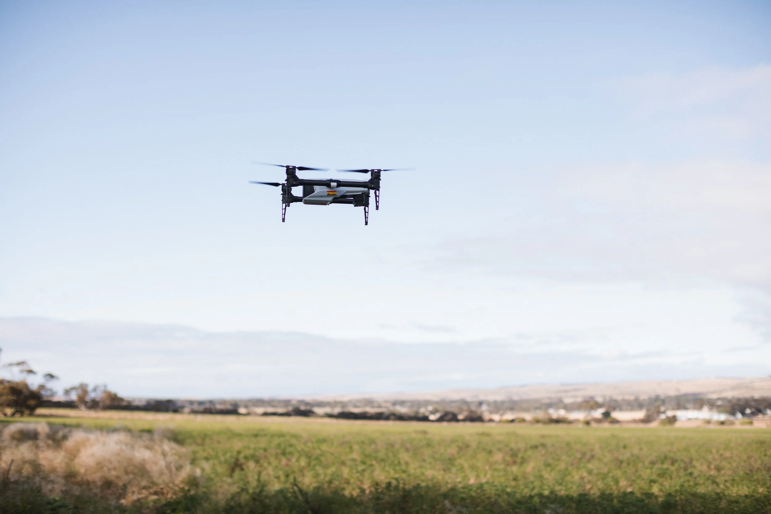
XAG XMISSION


SURVEY MAPPING
Survey mapping provides an opportunity to see your property from a new viewpoint. Using the XAG XMission, multi-spectral images can be generated in 2D, 3D, NDVI.
These images are then utilised by larger spray and seeding drones, like our XAG P-100, to enable precise chemical application in your paddock. This ensures that spray is only applied to the required areas, at a precise differential of 2cm – saving you money and time.
These maps also prove to be a fantastic evidence based approach to farming, with the ability to see changes to land and soil conditions throughout various seasons and years.
NDVI IMAGERY
These images provide feedback that can be invisible to the naked eye. Our highly skilled team can assist you with all of your needs, whether it be a 2D or 3D map to analyse your paddock, or full NDVI imagery to analyse overall health.